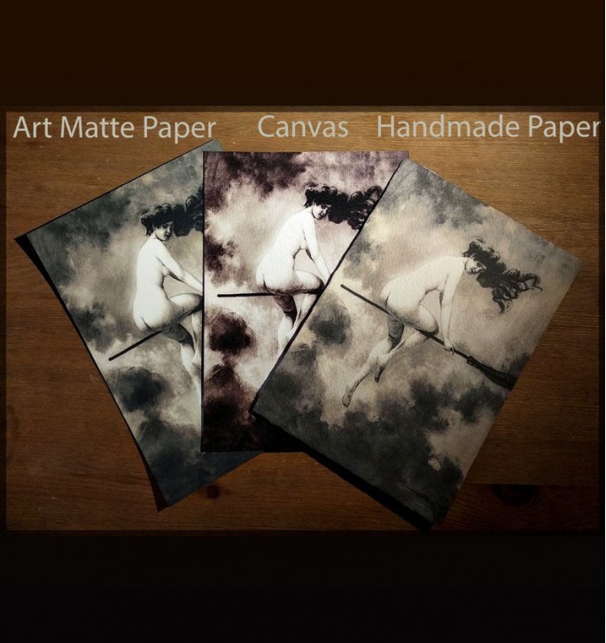
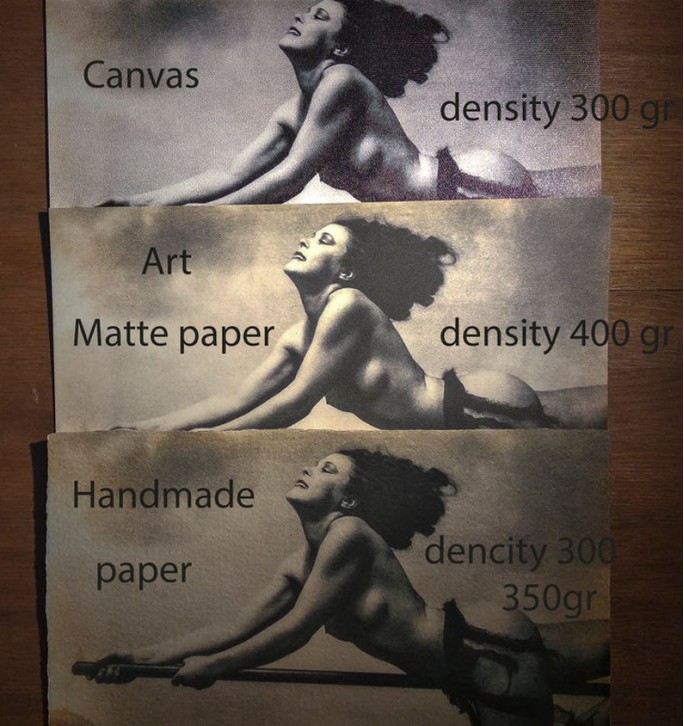
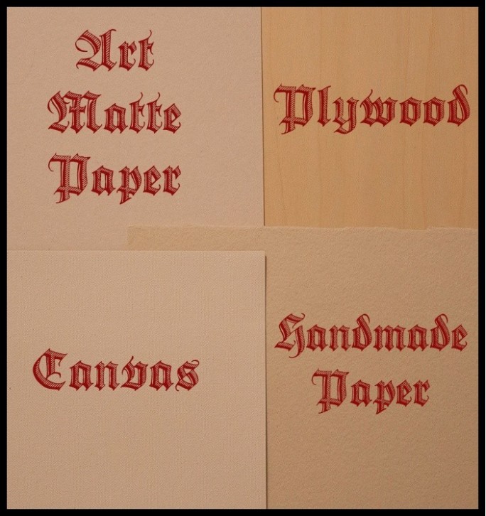
We have 4 types of printing materials:
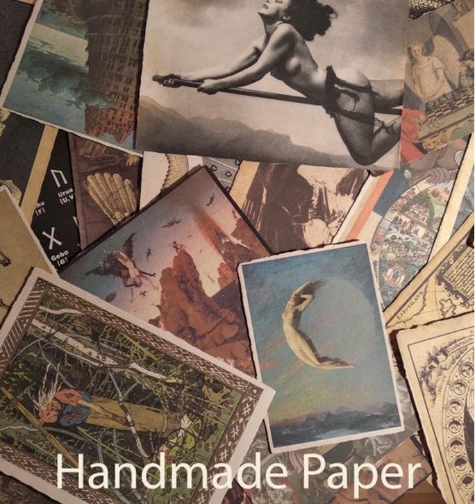
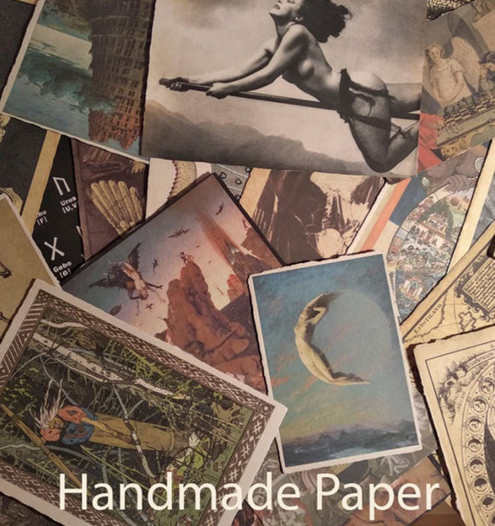
Handmade paper.
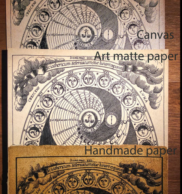
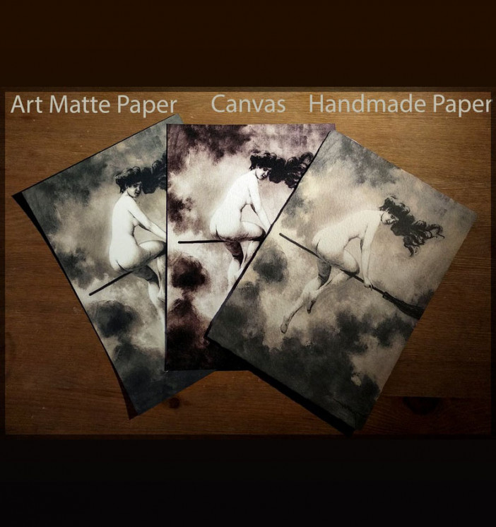
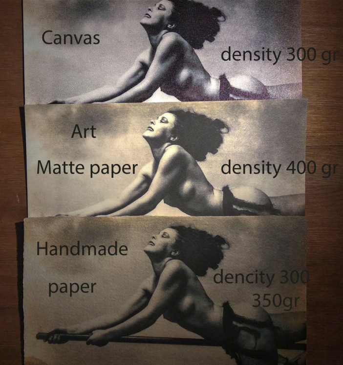
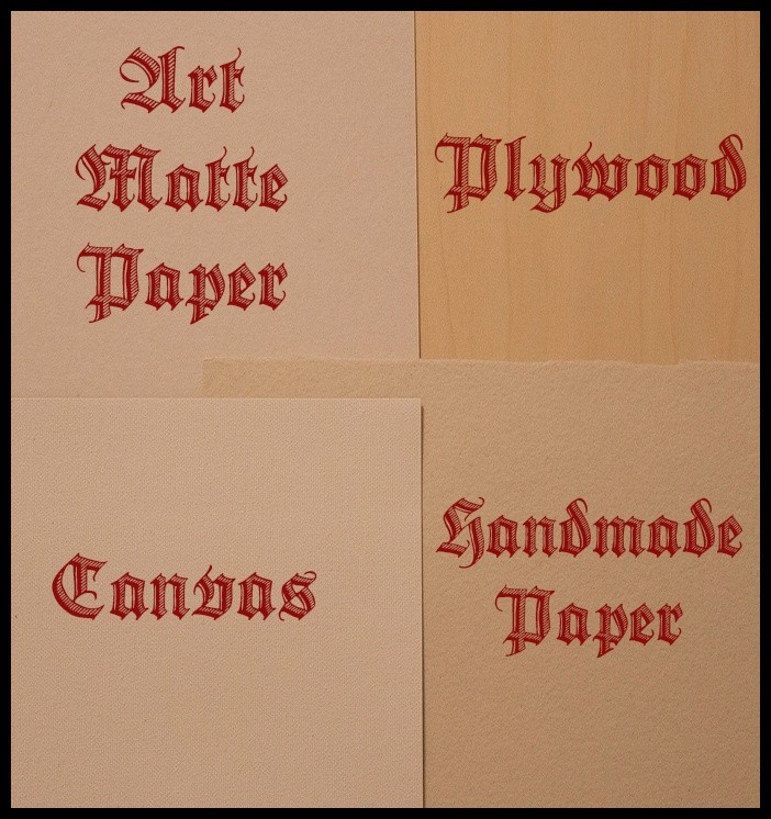
An absolutely unique product. Thick and dense paper (350 mg) with uneven edges. Not completely white, has natural beige shades. The print on this paper has a rather antique look and muted colors. Prints with an antique background look especially authentic on this paper.
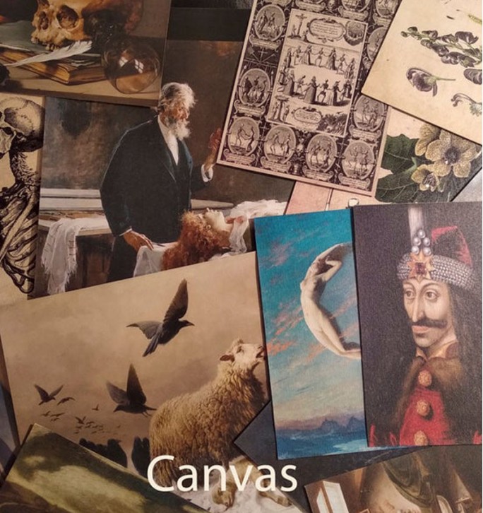
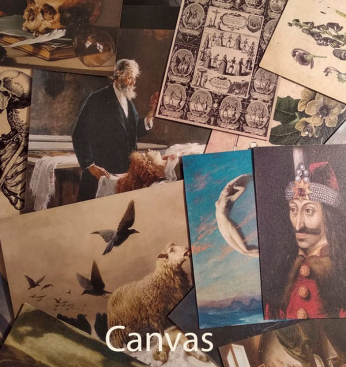
Linen canvas.
Dense (300 - 400 mg), beautiful and natural material with a slight shine. Prints on canvas have a bright and clear color rendition.
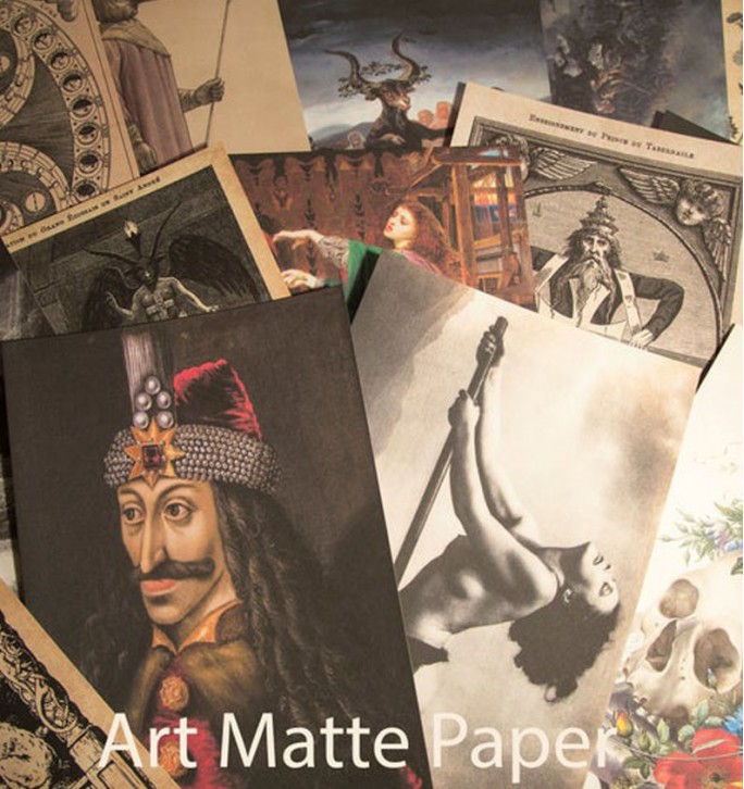
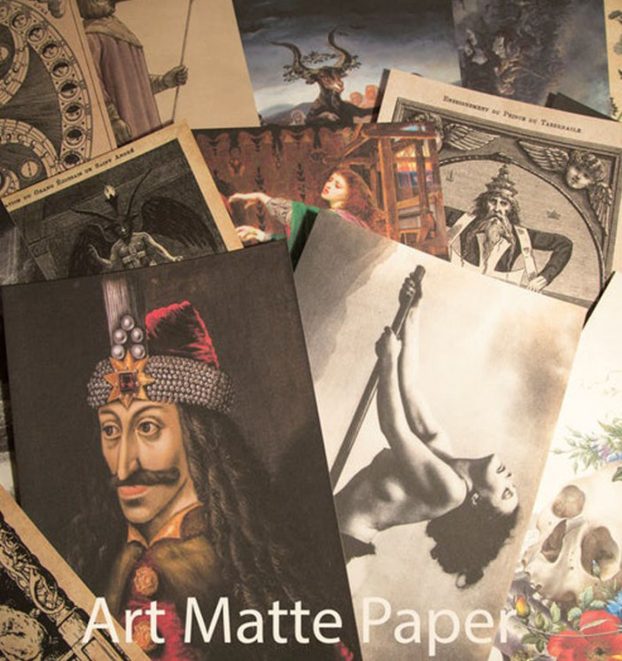
Art matte paper.
Very thick paper ~ 1mm. Can be used without frame. Excellent color rendition.
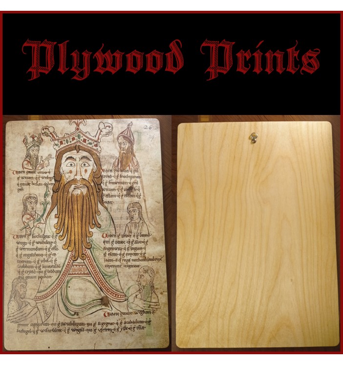
Plywood.
We print on birch plywood with a thickness of 4 - 6 mm. Prints on plywood convey the image and color very accurately. These prints do not require a frame and are ready to hang as they have a hook on the back. The big advantage is that it is not susceptible to moisture; it can be hung in damp areas.
Possible sizes:
A5 - 8.3 x 5.8 " (210 x 148 mm)
A4 - 11.7 x 8.3 " (297 x 210 mm)
A3 - 16.5 x 11.7 " (420 x 297 mm)
A2 - 23.3 x 16.5 " (594 x 420mm)
Materials and sizes for this print are listed in the product type in the drop-down menu.
Frame is not included.